
Baird Trail
Length: 3.175 km
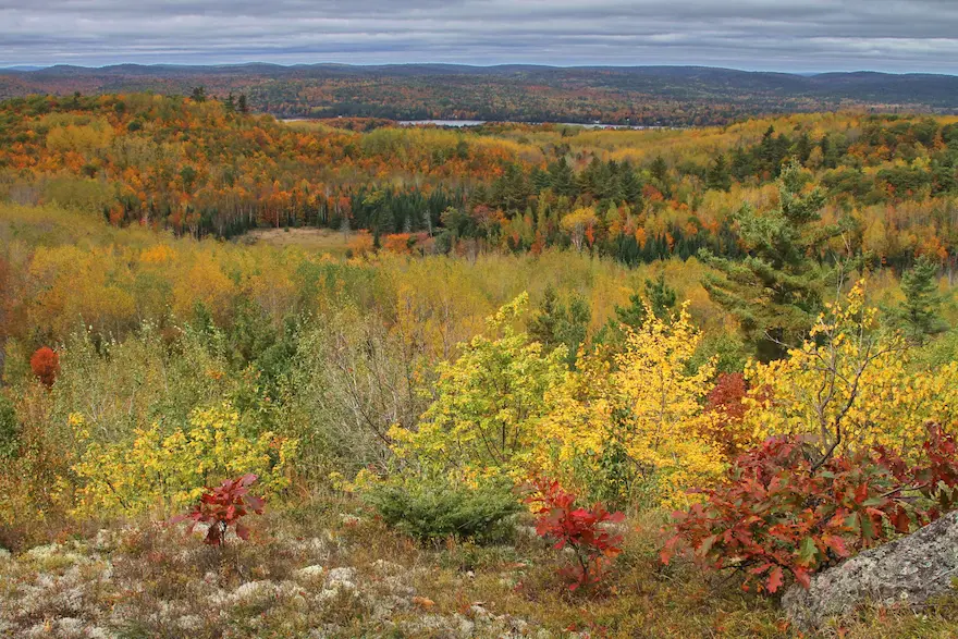
The Baird Trail is a scenic circular route with three distinct loops, each offering a different view of the area’s natural and cultural features. Along the trail, marked ecological points highlight some of the region’s largest maple and beech trees, while old rail fences hint at historic farming practices. Quiet red pine plantations, established about forty years ago under a Lanark County Forest Agreement, provide a peaceful retreat, and a central sedge wetland—crossed by a boardwalk—offers clear views of typical wetland characteristics.
Munro Trail - 1.22 km (easy)
Valley Ridge Loop - 0.62 km (easy)
Field Stone Crossing - 1.335 km (moderate)
1024 Herron Mills Rd, Lanark, ON
Blueberry Mountain (cliffLAND)
Length: 5 km
Hike to the top of Blueberry Mountain within the cllffLAND, the highest point in the County where the view astounds. This nature sanctuary is home to countless species of flora and fauna.
Blueberry Mountain is located on Private Property. Hikers are welcome to take a self-guided walk to Blueberry Mountain. Permission to hike the trail is granted by reading, completing, and signing a Liability of Waiver form.
502 Hills of Peace Rd, Lanark, ON
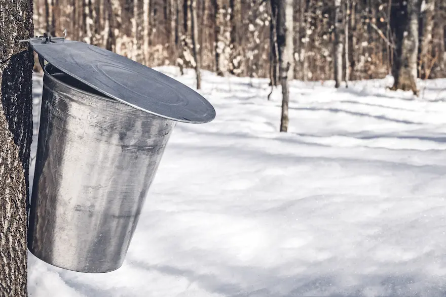
Fortune Farms Trails
Length: 1.6 km
The trails are open daily during the sap season and by appointment in other seasons. Dogs on leash are permitted.
The Heritage Trail - 1.0 km (easy)
The Sugarbush Trail - 0.6 km (easy)
The Plantation Trail - 0.6 km (easy)
2442 Wolf Grove Rd, Almonte, ON

Gunn Creek Community Forest Trail
Length: 2.5 km
A peaceful 2.5km loop hike through the forest with with minimal elevation and a picnic spot by the creek.
It's a family friendly trail, normally quite quiet, and a great spot to practice tree identification.
1672 South Lavant Road, Lanark
K&P Trail System
Length: 180 km
The Kingston to Pembroke (K&P) (lovingly called the Kick and Push) railroad bed passes through the township from Lavant Station to Tatty Hill Road, before moving northward to Renfrew.
The entire K&P Trail system extends approximately 180 kilometres from the City of Kingston through Frontenac, Lanark and Renfrew counties. It is a multi-use trail providing recreational opportunities such as snowmobiling, atving, hiking and biking.
Access Points:
- Tatty Hill Road
- Flower Station
- Lavant Station
Lammermoor Road Trail
Length: 3 km
An easy 3-km hike along unmaintained roadway through forests and wetlands. The trail ends on a high plateaus of open agricultural fields and a local cemetery. Park at the end of Lammermoor Road.
End of Lammermoor Road, Lanark
Thompson's Black Rock Park Walking Trails
Discover the tranquil beauty of the maple forest while taking in our self guided walking tours along the shores of scenic Clayton Lake. Trails are marked and maps are available at the store.
745 Black Rock Lane, Clayton ON
Wheelers Pancake House Hiking Trails
Length: 10 km
Wheelers Pancake House offers a number of hiking trails, free of charge, while visiting the Pancake House.
Trails
- Ridge Trail (1 km)
- Sugar Bush Lane (1.4 km)
- Wokis Run (3.5 km)
- Maple Trail (4.5 km)
1001 Highland Line, McDonalds Corners, ON